Characterising the Landscape: Geophysical Survey
Fluxgate gradiometer methodology
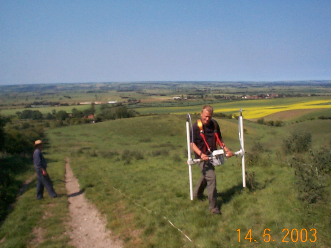
 The magnetometer surveys were conducted using two types of fluxgate gradiometer. Initially, a Geoscan Research fluxgate gradiometer (model FM36) was used. A second FM36 machine was introduced when the survey team expanded to three members. Since February 2003, a Bartington Grad 601-2 dual fluxgate gradiometer has been used for most surveys. The magnetometer surveys were conducted using two types of fluxgate gradiometer. Initially, a Geoscan Research fluxgate gradiometer (model FM36) was used. A second FM36 machine was introduced when the survey team expanded to three members. Since February 2003, a Bartington Grad 601-2 dual fluxgate gradiometer has been used for most surveys.
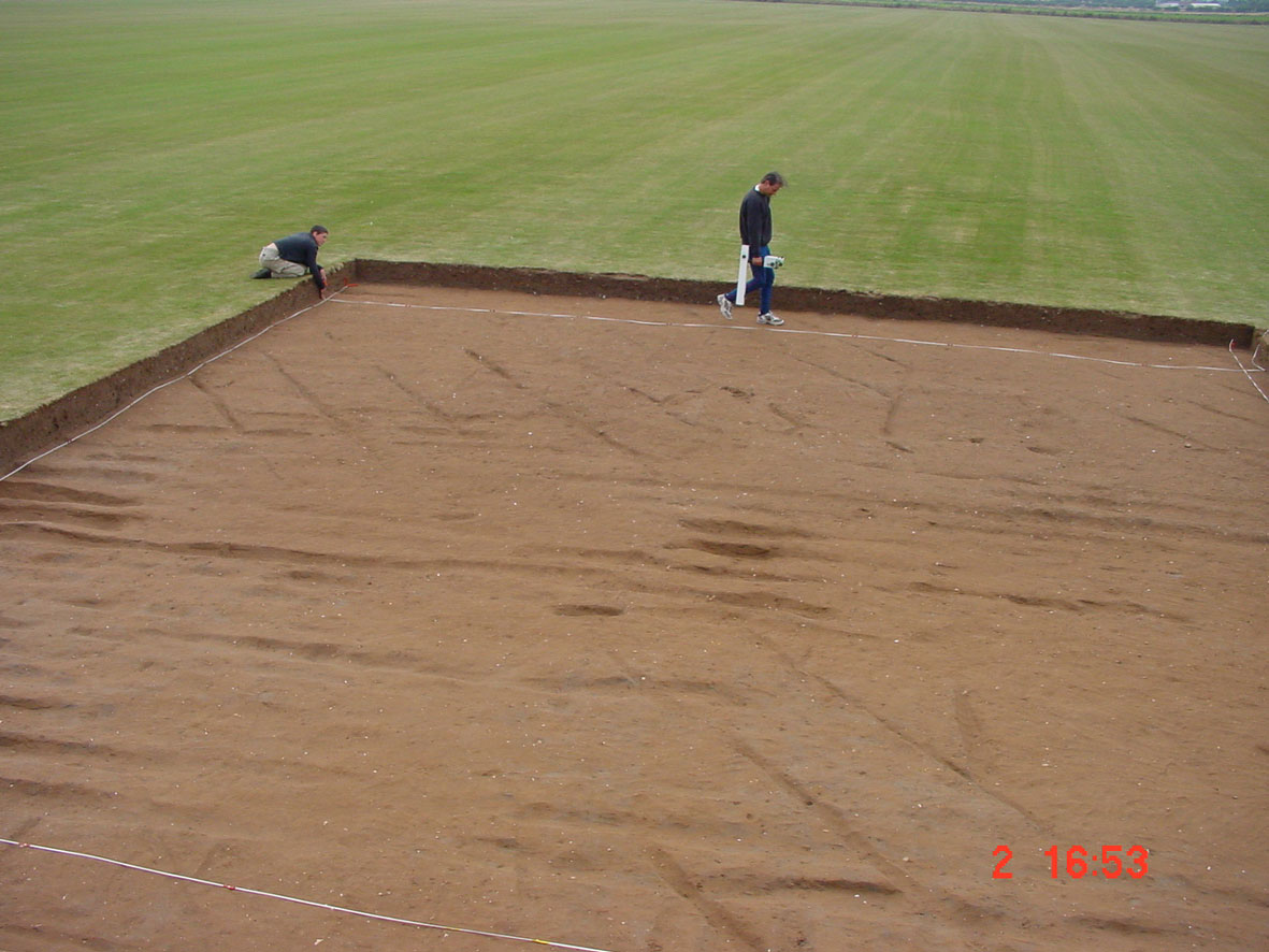
The standard grid size was 30 metres by 30 metres. The grid was generally established from the south-west corner of the field using an optical square, 30 metre tapes and ranging rods. This is a quicker method than using the Global Positioning System to set out the grids, but implies that the data is collected on a flat plane, and does not fully represent all of the topographical variation. However, most of the zone surveyed is relatively flat, except on the southern side of the A64 trunk road. There is therefore a relative level of accuracy for the survey in each field, which is tied into the Ordnance Survey grid, rather than an absolute GPS-based accuracy.
 The zig-zag traverse method of survey was used throughout. Fibreglass ropes marked at every metre were used on each grid line to minimise staggering problems in the raw data. Surveys were carried out by taking readings every 25 cm along the north/south axis and every metre along the east/west axis (thus 3600 readings for every 30m grid). The sensitivity of the machine was set to detect magnetic variation in the order of 0.1 nanoTesla in all cases. The zig-zag traverse method of survey was used throughout. Fibreglass ropes marked at every metre were used on each grid line to minimise staggering problems in the raw data. Surveys were carried out by taking readings every 25 cm along the north/south axis and every metre along the east/west axis (thus 3600 readings for every 30m grid). The sensitivity of the machine was set to detect magnetic variation in the order of 0.1 nanoTesla in all cases.
All surveys were carried out by James Lyall, Maria Beck and David Stott of the Landscape Research Centre. In most cases all three surveyors were present. Before the acquisition of the Bartington Grad 601-2 dual fluxgate gradiometer, two Geoscan Research fluxgate gradiometers were used, with two people surveying neighbouring grids, one to the north of the other, and the third surveyor moving ropes along the central line. When using the Bartington machine, the person with the machine was constantly surveying, with the other two moving the ropes and then setting out the next grid while the current grid was completed. Surveys conducted when only two surveyors were present generally used either one Geoscan Research fluxgate gradiometer or the Bartington Grad 601-2 dual fluxgate gradiometer, with the ropes attached to a pole at one end to allow the person holding the machine to move ropes to the next position.
|