The Landscape Research
Centre, in collaboration with: Leica Geosystems, The Institute of Medieval Studies,
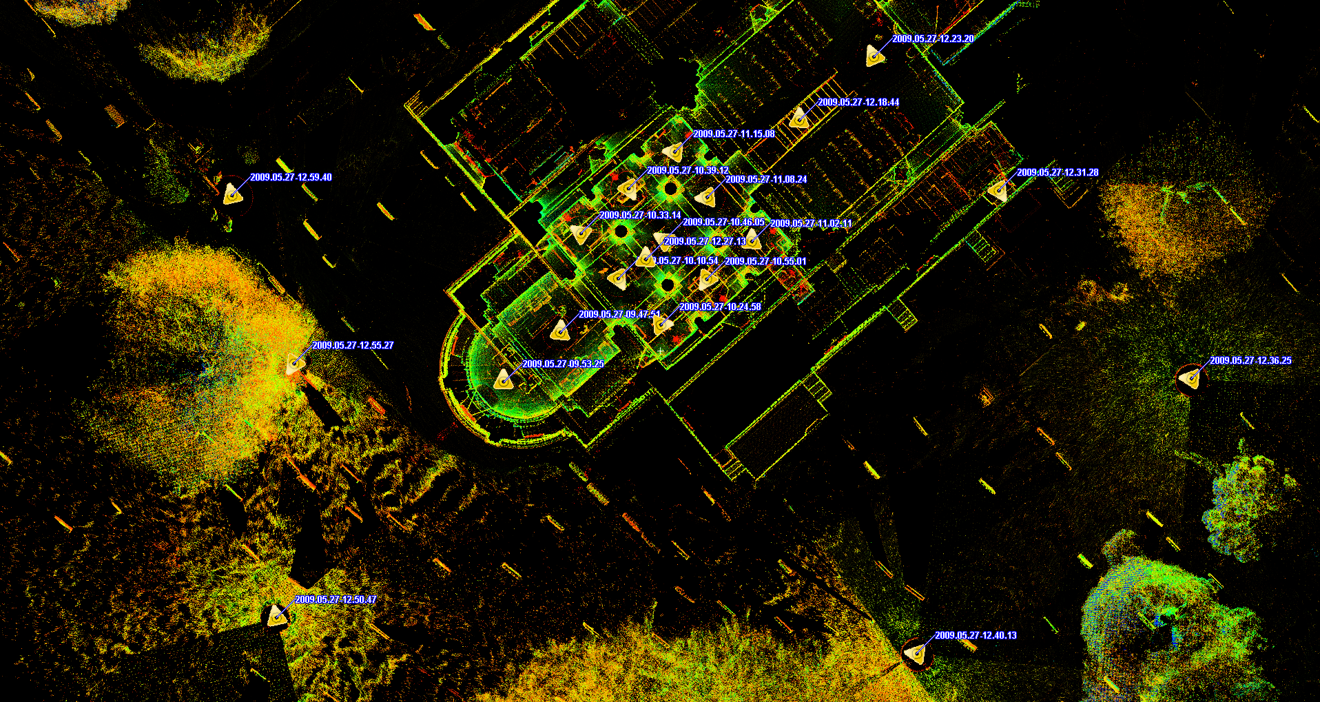
The Map below
shows a plan view of 3D scan data gathered using a Leica HDS6100 laser scanner.
To view any of the individual scans double-click on the yellow triangles
marking each scan location to view the data using Leica TruView
software plug-in for internet explorer. Depending on your internet connection
it may take a long time to load each scan.